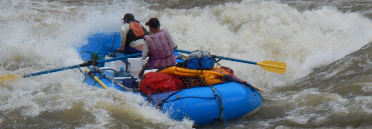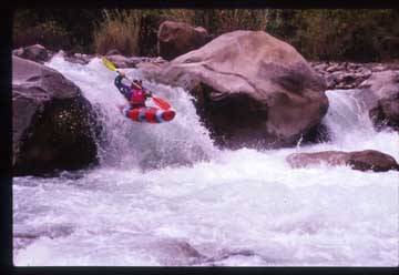
The Cañete Rivers offers boating for both novices and experts alike. With year round flows and it’s proximity to Lima it has become one of the country’s commercial rafting centers and has been the training ground for most of Peru’s kayakers and rafters.
Buried in one of the Upper Cañete’s rapids
Flows in the rainy season can be several hundred cubic meters per second (> 5000 CFS) and in the middle of the dry season a paltry 5 CMS (150 CFS).
The whole river corridor is paralleled by a road, which at the time of this writing (1997) is paved up to Pacaran. Kilometer signs indicate the distance from the Pan American Highway and are sometimes (but not always) visible from the river.
Small falls on Upper section
Commercial rafting and the bulk of the day runs are centered around the town of Lunahuana at KM 34. The various sections of river are as follows:
Lunahuana to Paullo Class 3 day run from KM 34 to 27
Catapalla to Lunahuana Class 3 day run from KM 39 to 34
Pacaran to Catapalla Class 3-4 (5) day run from KM 55 to 39
Catahausi to Pacaran Class 4-5 day run from KM 82 to 55
Magdelena to Catahuasi Class 5-5+ four-day run from KM 127.5 to 82
Only the upper stretch from Magdelena Del Rio to Catahuasi is described in any detail. There is a small window to run this section of the river Late March/April at the end of rainy season. The radical stretch at KM 87.5 is not runnable at this time but becomes a great steep creek run at lower flows in July. The river contains an abundance of Class five whitewater in a beautiful semi-open canyon. Long stretches of radical whitewater are followed by calm stretches. Water is cold from Andean snowmelt with warm days and cool nights.
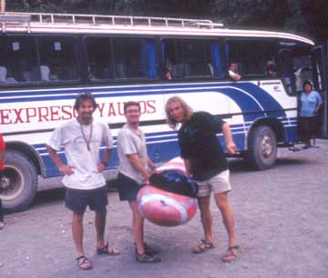
Getting dropped from bus near Magdelena in 1997
There are no hotels on the trip. There is a hostal in Pacaran that costs 10 soles per person and some restaurants. While in Pacaran ask around for the local distillery of Pisco. The owner will give you a free tour and as much Pisco as you can handle. From Lima a bus or car needs to be taken South on the Pan American highway for approx 100 KM to the mouth of the Cañete river valley. The road then climbs the river valley for 128 KM. The bus destination is Yauyos. There are two companies that travel Lima-Yauyos, “Expresso Yauyos” and “Empressa san Juan de Yauyos”. The price is approx. 10 soles with an additional 5 for kayaks, which can be strapped onto the roof rack. The put for the upper stretch is at KM 128 in the village of “Magdelena Del Rio” which is 128 KM upriver from the ocean. This is the point where the road no longer parallels the river. The bus climbs away from the river to the town of Yauyos one thousand meters above the river so it is important to get off here, as it is the last possible place. Much of the river can be viewed on the drive up and at any point you can get off when you decide you have seen enough. Travel time is 11 hours from Lima in bus. The takeout is in Pacaran at KM 55, which lies at 1650′ of elevation. From here a micro can be taken to Imperial for 5 soles and then a bus to Lima for 6 soles. An alternative is to continue downstream on the class three section to LunaHuana at KM34.
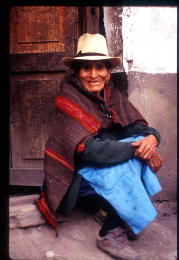
Old lady in doorway of where we stayed Magdelena 1997
On our first descent in March 1997 (high water El niño year!!!) we had an estimated flow of 1200 CFS. A summary of the trip is as follows:
Day 1 Magdalena (6720 feet above sea level) KM 127.5 to KM 120 (6040 feet elevation) 620 feet drop in 7.5 km or 132 feet per mile average. One radical 5+ rapid at KM 120
Day 2 KM 120 (6040 feet elevation) to KM 111 (5320 feet elevation) 820 feet in 9 km or 24.6 m/km average or 125 FPM average with individual sections approaching 40 to 50 mpk.
Day 3 KM 111 (5320 feet elevation) to KM 103 (4640 feet elevation) 980 feet in 7 km (52 m/km) or 260 FPM average gradient. This stretch is basically one continuous class 5 rapid we called Santa Rosa. There is heinous rapid just below a bridge called Puente Colonia that should be portaged.
Day 4 KM 103 (4640 feet elevation) to KM 86 (3600 feet elevation) 1040 feet in 17 km (18.5 m/km) or 92 FPM average gradient. The morning starts out with mellow flatwater paddling then explodes into a class 5 fury for remainder of day. At KM 87.5 it becomes ultra wild with 400 FPM gradient. We portaged 500 meters of this section along the road then put back and ferried across river to make camp.
Day 5 KM 86 (3600 feet elevation) to KM 55 (1650 feet elevation) 1950 feet in 31.5 km (20 m/km) or 100 FPM average gradient. The stretch just above and below the bridge at KM 85 is pretty robust. After passing a village the river mellows out but soon leads into another class 5 rapid. Below this and to the town of Catahuasi it is very mellow water. At Catahuasi the river drops a few hundred feet in an explosive 1 km stretch. Below town of Catahuasi a stream enters on the left. From here to Pacaran it is a marathon 4-hour paddle session through one class 5 canyon and numerous 4+ sections.
