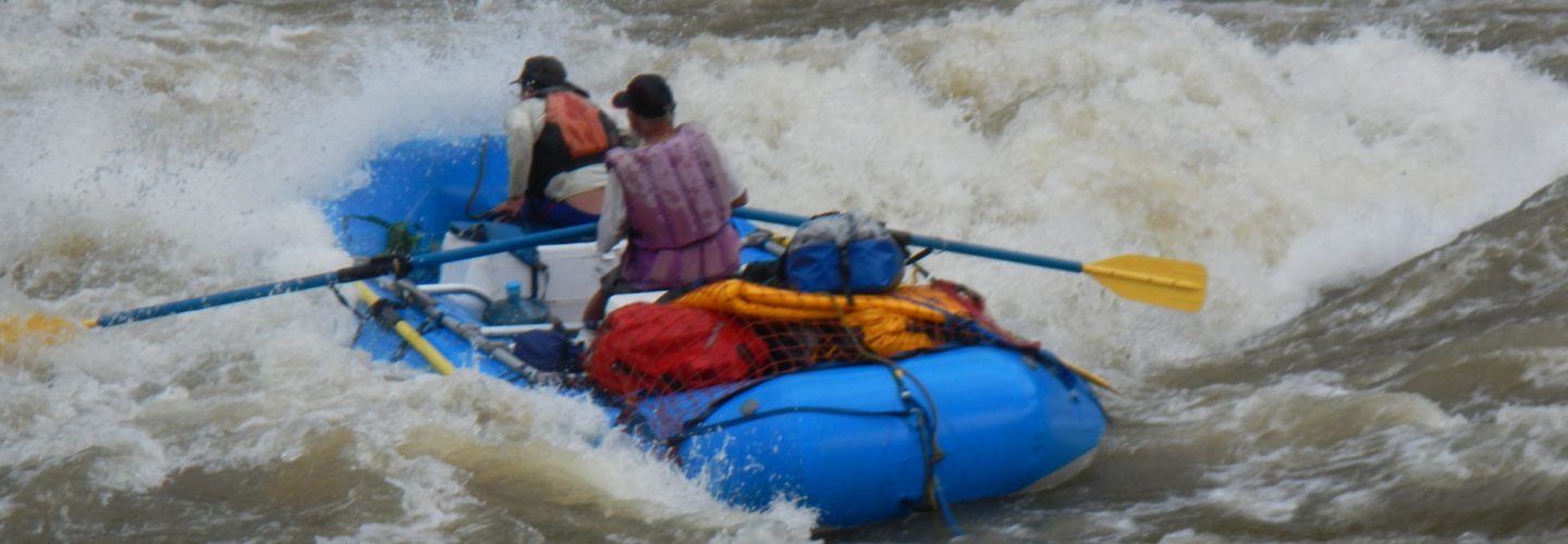
The Rio Velille is on of the Upper tributaries of the Apurimac and shares a lot of the same qualities of its big brother. The river lies within a majestic canyon with granite boulders and crystal clear water. The source of the water is Nevado Huainahuire which at 5438 meters (18,000 feet) which forms the border between the Cotahuasi and the Apurimac drainages.
For reasons I can not grasp the river was not run until August 2007. August of 2007 was a low water month with a flow of 400-600 CFS of very cold water. I would guess that the ideal time to run the river is mid May to early July and an ideal flow would be 1200 to 1600 CFS.
The Velille can be found on the Topegraphic map labeled Cuzco at 13 degrees 56′ latitude and 71 degree 53′ longitude.
There are two distinct ways to reach the river from Cuzco. We took both so will describe each one. The first way is to leave Cuzco and travel 61 KM to Paruco (1-1/2 hours). Just before reaching the plaza veer to the right and follow the Rio Paruro to the Apurimac. (note last several km of Rio Paruro look runnable). Cross the Puente Huarancalla and climb several hundred vertical meters until you come to a “Y” in the road. The left fork follows the Apurimac and goes to Colcha but take the right fork and start climbing towards Ccochirhuey and eventually to Acha. From Acha it is a 45 minute descent to a bridge over the Velille River called Puente Jaralacho. From Paruro to this point it is 64 km (4-5 hours) making the overall trip from Cuzco 6-1/2 hours. The elevation of the river here is 2860 meters above sea level and there is good camping on other side of the bridge.
Our return trip was via a different route. From the river we returned to Acha then to Pilipinto then Acos, then Acomayo, Sarasaca and finally down the Pumacanchis River to cross the Chuqicahuana Bridge over the Vilcanota. From here we followed the paved road for 86 KM back to Cuzco. The return route took 6 hours.
On my trip Piero Velutino and myself camped with our families then in morning recrossed the river and walked up road towards Occotuna. At the first major bend in the road to the right we took a trail and began boat hiking our gear up river until we reached some flatwater among the cliffs approximately 30 minutes later. We boated back to our camp at the bridge which was 2-3 km with 50 meters of drop or roughly 20 m/km. We had 2 scouts and no portages on what felt and looked like a mini Apurimac.
We need to return and run the river from the bridge to the Apurimac which is another 12 km and 260 meters of vertical drop

Hi from Germany,
first i wanna congratulate to your very informative website.
Now i got 2 questions:
is january/february a good time for kayaking in the region of cusco?
and is it possible to rent kayaks around there?
I really hope you can help me?
Thank you and best regards
Klaus