Born in the highlands of the central cordillera, the Rio Utcubamba flows through the Department of Amazonas on a northerly course before joining the mighty Marañon. The river takes its name from Quechua and means “fields of cotton”.
The river can be thought of as an upper stretch and a lower stretch all of which is bordered by roads for easy access that also permits the river to be run in day stretches with car camping. It is difficult to say what the best season is but local boater Al Twiss suggest the month of May. Later in the year the flow of the river becomes too low for many stretches while earlier in the year (Feb/March/April) the high flows can be dangerous.
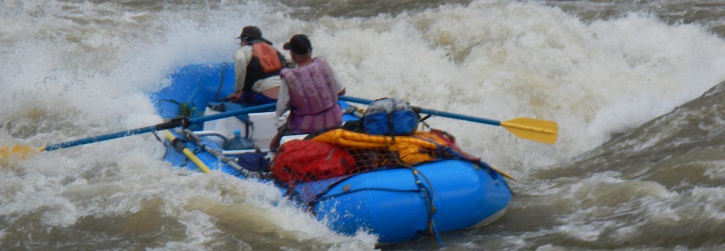
The upper reaches of the river consist of mostly meandering flatwater until a dam is reached below the town of Chacapoyas. The dam is located at 1650 meters and in the 4.5 km stretch below the river drops 150 meters with impressive class 5+ boating all the way to the tunnel Alcatarila.From the tunnel to Puente Progresso is an easier class 5 stretch which turns to flatwater except for one class 6 monstrosity just above Tingobamba. Greg Moore and Joel Hathorn put on somewhere in this stretch in late October of 1997 after 1-1/2 days of torrential rain (caused by the abnormally current shift of “El Niño”). Greg recalls the run as being a full adrenaline rush. Both boaters got trashed in big holes and then bailed out to lick their wounds and seek alternative plans. The flow was estimated at 2000 CFS, which Greg describes as, big enough to form monster holes but not big enough to wash them out.
From the confluence of the Rio Sonches (1550 meters) to the village of Churuja there is an 11km stretch where the river mellows to class 3 with one portage and some nice beaches for camping..
From Churuja to Pedro Ruiz ithere is a 10 km class 4+ stretch at high water. the Pedro Ruiz is a crossroads town located on the Chiclayo-Tarpoto main highway at elevation 1250 meters.
From here the lower stretch of the river begins with the river turning in a north west direction and continuing on its descent to El Milagro on banks of Marañon River 85 km away. En route the river and road pass villages of Bagua Grande and Bagua Chica. The second village lies at 420 meters.
Immediately below Pedro Ruiz is a stretch of class 4+ whitewater which turns to class 5+ and 6 at km marker 290. From here to village of Asadero the river makes its final furious plunge before mellowing to class 4 with an occasional class 5. I saw this boiling chasm from a bus window during the high water days of early June in a “El Nino” year and was more than impressed.
If you do not wish to boat all the way to the Marañon River you take out anywhere along the road which follows the river the whole way. An obvious spot to take out is Bagua Grande
The upper stretch of the river can be viewed on Chacapoyas map 1358 and 1359. The lower stretch can be viewed on map 1259 and 1159.
