
In the Department of Cuzco on the road from Quillabamba to Ollantaytambo lies the valley of the Lucumayo. Born in the high pass of Abra de Malaga and flowing off the Northern flanks of Nevado Chicon is a river of the same name.
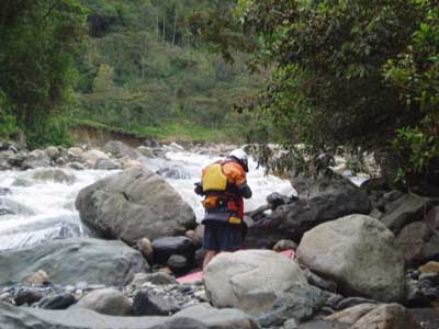
Put in for the Lucumayo River
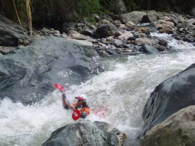
First drop on Lucumayo River
The easiest way to access the river is from the North via Ollantaytambo in the Sacred Valley or from the South via Quillabamba. There is regular bus service between Cuzco and Quillabamba but you will need to be paying attention so that you can jump out at the proper place to start your trip.
The road from Ollantaytambo to Abra de Malaga is paved 40 km stretch. From here the descent via switchbacks into Lucomayo drainage is unpaved and slow travel. I do not have the exact km but would guess it was approx 50 km from the pass to Inkatambo where the river was large enough to boat.
We ran the upper stretches of the river on October 26, 2005. The river had started to rise from initial rains at the beginning of the rainy season but was not “high”.
To reach the put in we stopped in the small village of Inkatambo and hiked down a trail to the river beside a church. At the river we crossed Puente Kur-Kur and put in on the opposite bank. At this point the river had a small flow of around 200 CFS (20 CUMECS). Within 100 meters a tributary entered the river and doubled the flow to 400 CFS.
The run was basically an ultra-continuous class 4+ run with volume steadily increasing as we went downstream. As the river reaches the foot bridge of Santa Rosa the action increases with some class 5 rapids. Soon after a concrete bridge called Puente Chilca Chilca the river enters a canyon with a distinct change in the character. Within the canyon it is at times impossible to scout and/or portage. A clear flowing tributary from the village of Huamanmarca enters the canyon on river right and provides an escape in case of an accident. (on our trip we had a broken kayak and this was the bail out point for one unfortunate boater).
As the canyon opens the river quickly returns to its former gravel bar character and within 2 km Puente Lauramarca comes into view. This was out takeout and was 10 KM downstream from put in. The run had taken us 2-1/2 hours. We were lucky enough to have a vehicle and a shuttle driver that drove down a secondary road and met us at the river. Puente Lauramarca is below the town of Amaybamba.
In the town of Amyaybamba is a restaurant called “El Chalan”. The owners are Betty Pinedo Giron and her husband Eliseo Sulca Becerra. Betty and Eliseo were our hosts for the evening. Not only did they serve us dinner and breakfast, but they also let us sleep on the floor of their restaurant which with the heavy rains in the evening was a welcome alternative to camping without a tent. Eliseo is the local Police officer and ran our shuttle for us. Eliseo can be reached via phone at 204086 (Ollantaytambo Comisaria) and encourages anyone visiting the area to contact him for help with logistics.
With higher flows this section would become dangerous and the section from Amaybamba down to the confluence with Urrubamba River would be become a great class 4-5 alternative.
I do not yet have a map of the river but would guess the 10 km stretch we ran dropped an average of 30 m/km or some 300 km in altitude