The Mayo River is located in the Department of San Martin flowing East from the Andes into the Huallaga River. There are three runnable sections between Moyobamba and the Huallaga River, two sections in the middle Mayo and one in the lower Mayo.
The Mayo is formed by several small creeks that drop from the eastern slopes of the Andes and winds as a flat-water river about 150 km to the City of Moyobamba. About 10 km. SE of Moyobamba the river begins to drop from 850 m to 250 m where it joins the Huallaga. The flow varies from 1,000 CFS in the driest months (July, August and September) to over 6,000 CFS in the wettest season (February-May). The top section has about 30 km of Class III in dry seasons and IV – V in rainy seasons. The center section is 160 km. of III-V and can only be run at very low levels. The lower section has 15 -20 km (depending on put in) of Class III rapids and can be run year round.
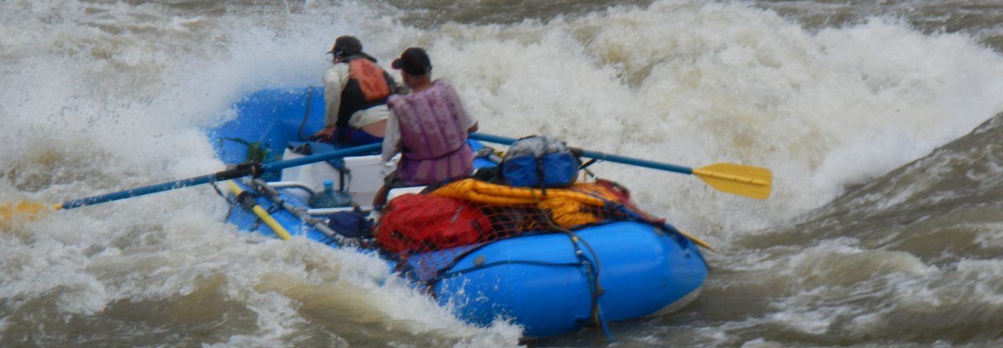
To run the top section the easiest put-in is in the Port at Moyobamba or neighboring town of Marona and after about 10 km. of flat water begins about 40 Km. of rapids, Class III in dry seasons and IV – V in the rainy seasons. An alternative put-in is at the bridge over the Gera River on the Highway to Tarapoto about 15 k. by road from Moyobamba. The river flows through small canyons that compress the water and forms large standing waves at high water. Most of the rapids are short and readable from the water, at High water there are a couple that require scouting. The take-out for this section is at the bridge at Britannia where there is a dirt road that connects to the Tarapoto-Moyobamba Highway
This section is runnable only in very low water, found usually in July, August and September. It is a 4-5 day trip and is the most interesting section with Class III, IV and V rapids. Shortly after the put-in at Britannia the river flows N away from the Highway. After about 10 km. of Class III you come to a possible beach campsite on river right. After passing this beach the river enters a canyon with few good campsites for another 10 km. In this section there are two falls runnable in Kayak. The fist falls in Dinosauro a 10-foot drop that can be portaged on river right. After Dinosauro is the last possible take out and requires climbing steep walls to a trail (8 KM.) that will take you back to Highway at La Huarpia. After passing the next rapid the river curves left in a Class IV rapid called Jacob’s Ladder and then curves right in a Class V rapid followed by a Class V falls that can be portaged river right. After the second falls the river enters a 3 km. closed canyon with sheer walls that has no opportunity for scouting until the last rapid that can be scouted at river right. The river enters a 3 Km. long valley with an excellent campsite river left about 500 m. before the rapids begin again. After the valley the river is Class III-IV and passes through virgin jungle, rapids in this section are easily scoutable. The distance from the valley to the first possible take-out is about 60 Km. and requires a camp. On the last day you will pass some Lamista Indian villages and easy class III rapids arriving at the town of Pinto Recodo where there is road access. You can also continue another 10 km. to the bridge at Shanao where the Tarapoto-Moyobamba Highway crosses the Mayo.
The lower Mayo is run commercially and is easy Class III rapids all year. The Put-in can be done at Pinto Recodo or at the bridge at Shanao. The take out is at Maceda 15 km. from the bridge. After Maceda the river offers few rapids until it enters the Huallaga River.
